


Tour du Causse Méjean - Etape 2

nolsim
User
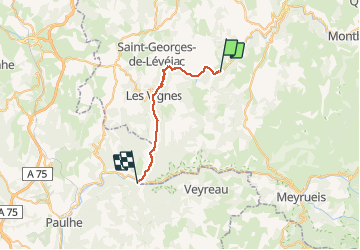

Length
26 km

Max alt
642 m

Uphill gradient
710 m
Km-Effort
35 km

Min alt
402 m

Downhill gradient
758 m
Boucle
No
Creation date :
2019-01-15 16:02:19.753
Updated on :
2019-01-15 16:02:19.753
7h27
Difficulty : Medium

FREE GPS app for hiking
 SityTrail
IGN / Geographical institutes
SityTrail Plus
The world is yours!
About
Trail Walking of 26 km to be discovered at Occitania, Lozère, La Malène. This trail is proposed by nolsim.
Description
La Malène - Le Rozier
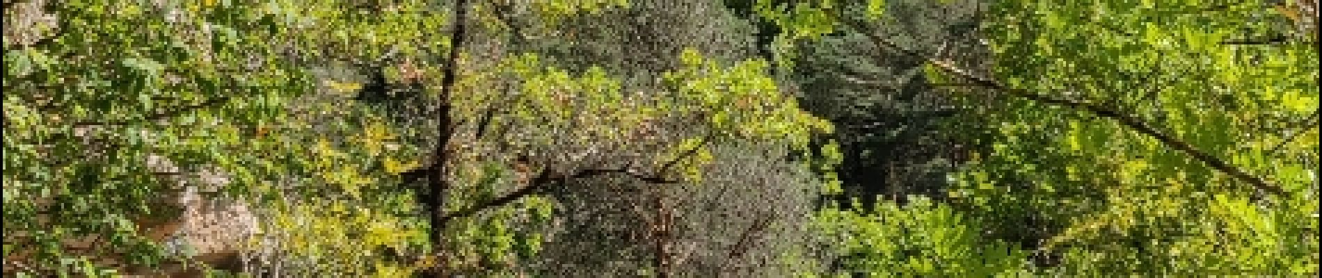
Joli sentier, tantôt en forêt, tantôt au bord du Tarn. Pas de difficultés.
Photos


Positioning
Country:
France
Region :
Occitania
Department/Province :
Lozère
Municipality :
La Malène
Location:
Unknown
Start:(Dec)
Start:(UTM)
525478 ; 4905383 (31T) N.
Comments